CREX
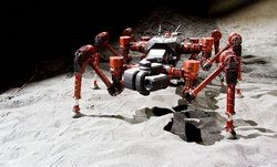
Crater Explorer
Technical Details
| Size: | 820 x 1000 x 220 mm (normal posture) |
| Weight: | 27kg |
| Speed: | max. 0.12 m/s |
| Actuation/ Engine: |
24 joints in 6 legs (BLDC motor RoboDrive ILM50x8, 1:100 HarmonicDrive , FPGA elektronics)
|
| Sensors: |
1x VLP16 Velodyne laserscanner, 1x IMU, 6-DOF force-torque per leg, battery cell voltages, per actuator: current, voltage, velocity, position (absolute and inkremental), temperature; 2x Picoflexx depth image camera
|
| Computers: |
1x Intel NUC i7 10. Gen for motion control, 1x COM Express Board with Intel i7 5. Gen for navigation and mapping
|
| Runtime: |
approx. 1.5 h w/o payload (50V, 7Ah battery)
|
| features: |
The robot receives its mission tasks via a wireless connection. Each task can be performed autonomously or manually controlled by an operator.
|
Organisational Details |
|
| Application Field: | Space Robotics |
| Related Projects: |
ANT
Autonomous Non-wheeled all-Terrain rover
(01.2021- 10.2022)
Entern
Environment Modelling and Navigation for Robotic Space-Exploration
(10.2014- 12.2017)
|
| Related Software: |
Rock
Robot Construction Kit
|
System description
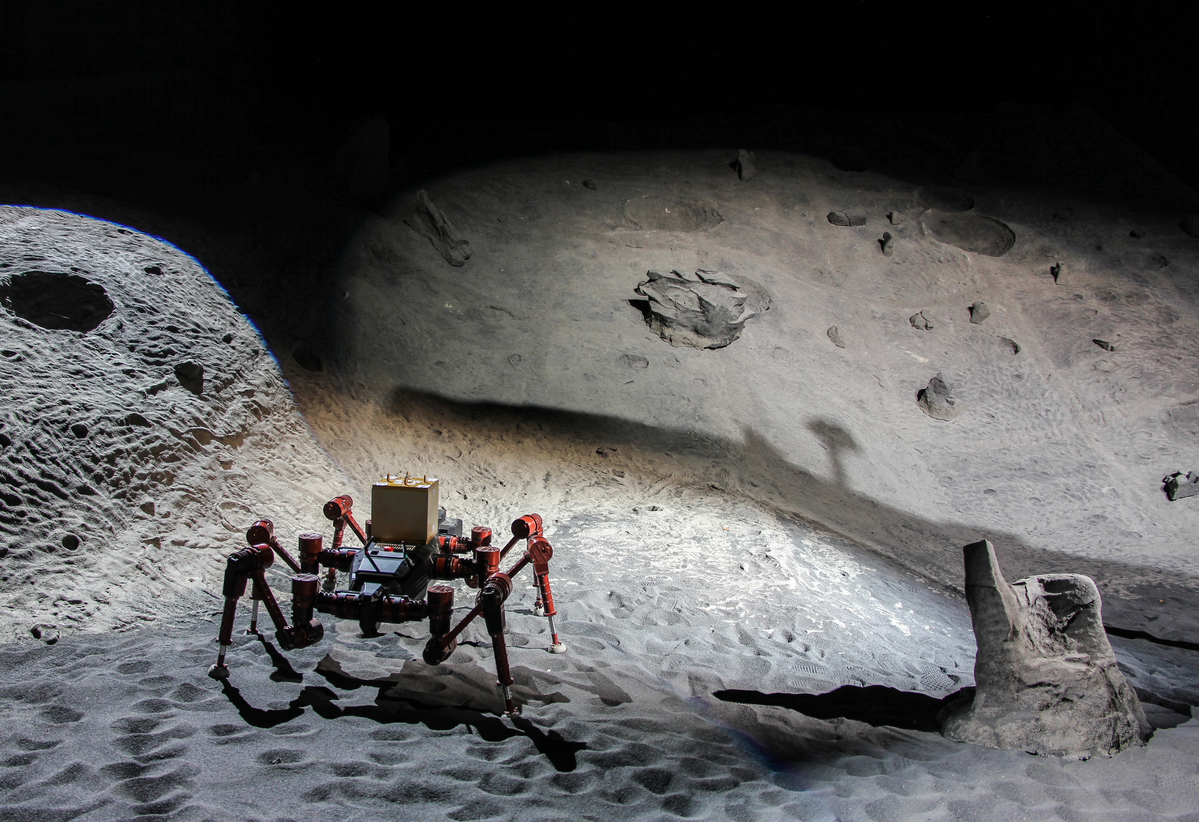
The robot enables us to research methods for autonomous exploration of deep lunar craters in search for water ice or other volatile substances.
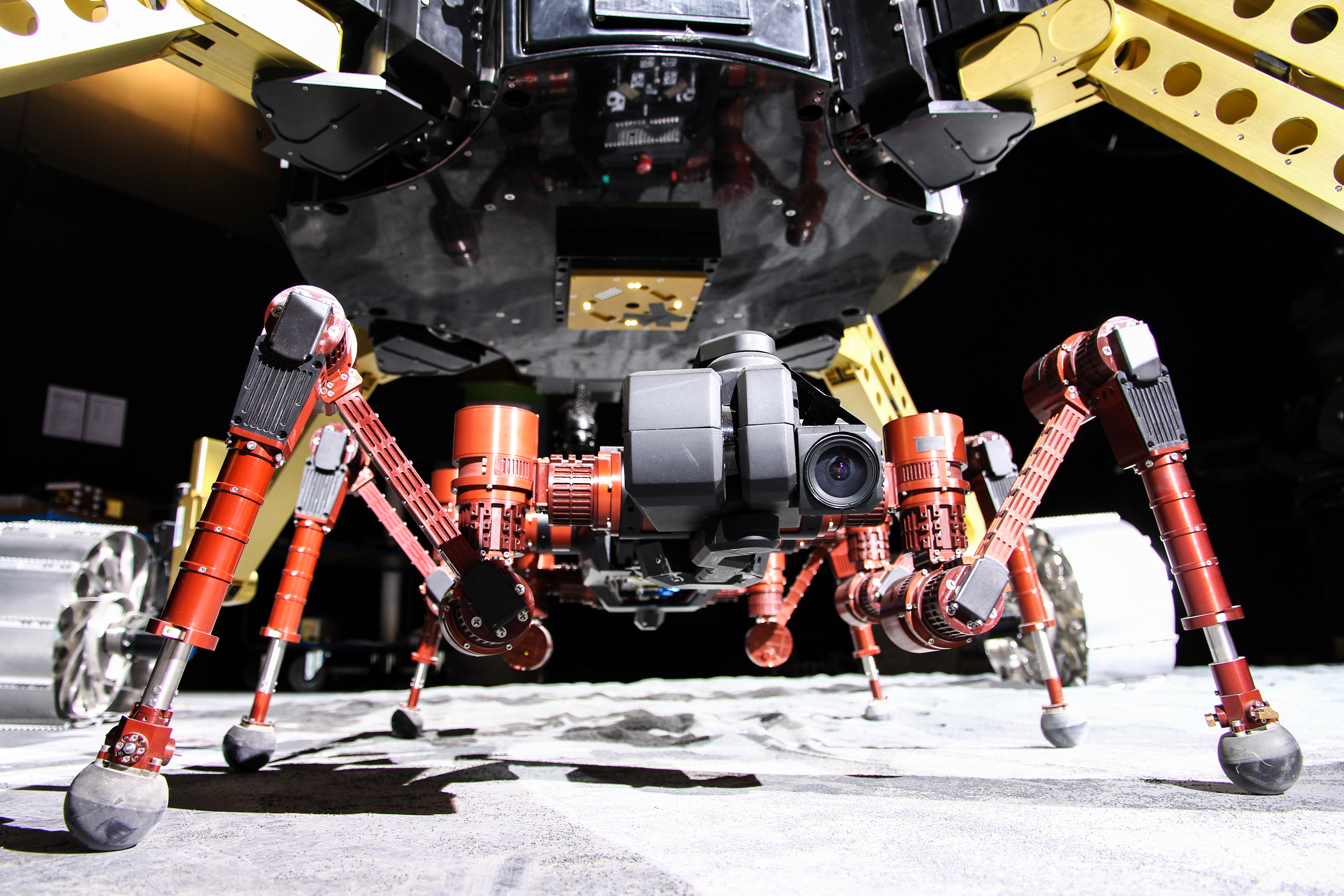
Originally the system was equipped with an electro-mechanical interface on its back, allowing the robot to connect to the Sherpa rover for travelling longer distances or to mount additional modules such as battery modules and scientific instruments. As part of upgrades, this was converted to accommodate another computer and laser scanner. Furthermore, the body joint and the movable head were replaced with a larger battery compartment and depth imaging cameras.
Videos
ANT: Navigation and guidance system enables robots to traverse rough, inclined, unconsolidated terrains. Final tests.

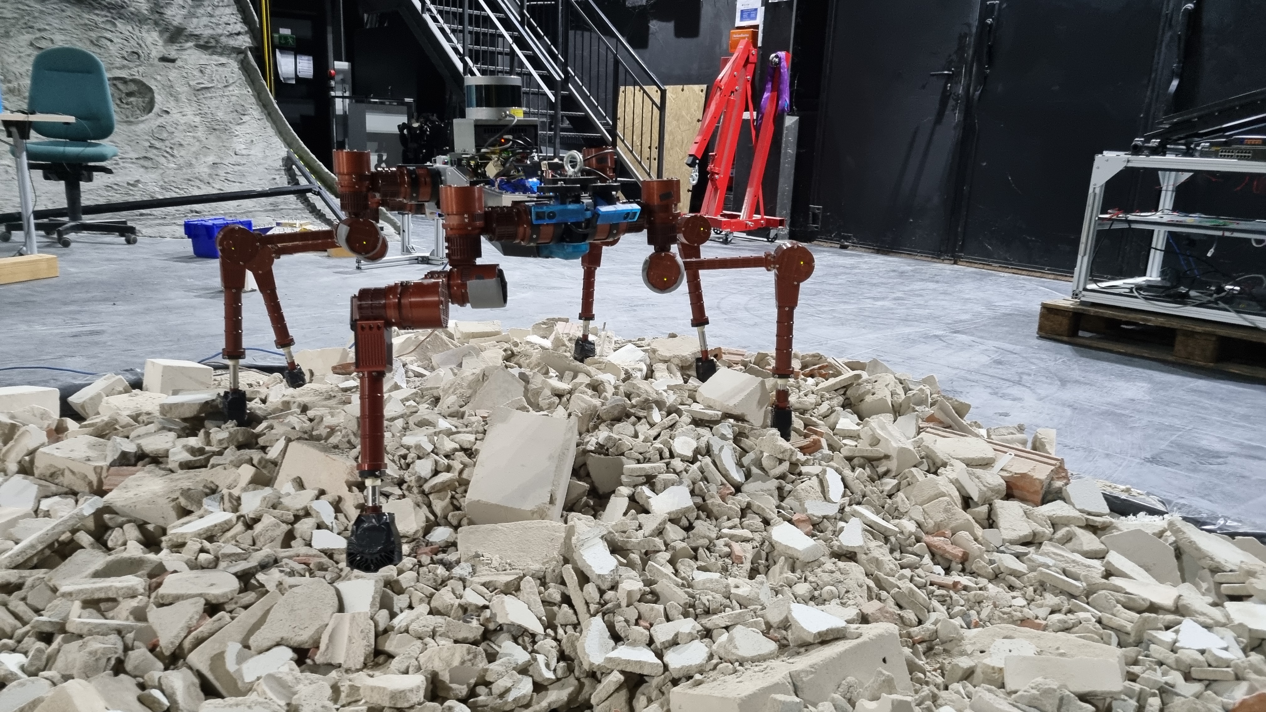
The work on the ANT guidance, navigation, and control system for future planetary exploration walking system has finished. The final tests proofed its capabilities on unconsolidated, unstructured, and inclined terrains. The visual foothold adaptation can rely on a high-frequent and drift-free pose estimation and on an up-to-date map. Therefore, contact-information are additionally added to the map to incorporate changed surface structures. In addition, a load bearing assessment can be performed to evaluate the stability of the next foothold before relying on it. This way, a stable recovery from collapse rock formations is possible, which can increase the safety of future legged exploration missions.
ANT: Navigation system enables walking systems to explore rough inclined terrain

The ANT project develops a navigation and motion control system for future walking systems for planetary exploration. After successful testing on ramps and rubble fields, the challenge of climbing rough inclines such as craters is being tackled. Iterative exploration of unknown targets and omnidirectional path planning generate efficient trajectories for the robots. Dynamic motion control generates motions for the torso and feet to follow the given trajectories while maintaining stability. In addition to blind haptic adaptation to the ground, a high-resolution local map is used for visual foot adaptation to avoid unstable edges and optimize traction.
ANT: Novel Navigation System for Multi-legged Robots, second phase

ANT: Novel Navigation System for Multi-legged Robots

In the ANT project, the DFKI Robotics Innovation Center is working with the Italian Institute of Technology (IIT) and Airbus Defence and Space Ltd (ADS) to develop an innovative navigation and motion control system that will enable both four- and six-legged robots to maneuver safely on complex ground.
Field tests during the project ENTERN

Autonomous and remote-controlled navigation in a lava tube during the final field tests of the project Entern in 2017.
CREX: Postures

CREX demonstrating its postural abilities. These are used for docking to Sherpa or in steep crater slopes
RIMRES: Sherpa and CREX

Sherpa is using its manipulator to deploy CREX. A possible use-case is the deployment off a landing unit at the beginning of an exploration mission
RIMRES: Systems in a lunar exploration mission

The video shows a possible lunar exploration mission for the RIMRES-system.


